Italy Relief Map
Map of Italy > Italy Locator Map • Italy Travel Tips • Italy Relief Map
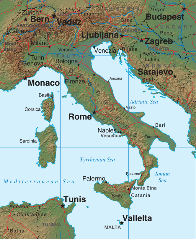
 The majority of Italy is made up of mountains. The central range,
the Apennines, which reach heights of almost 10,000 feet in some areas,
extend the length of the mainland and into Sicily, where Mount Etna, an
active volcano, is located. Another active volcano, Mount Vesuvius,
is included in the same range and is located near Naples. The soil
on the mountains is thin, but some mountain meadows provide pastureland,
and the valleys between the mountains also provide some arable land.
 The Appenines merge with the Alps, forming boundaries with Switzerland,
Austria, and Germany, at the northwest tip of the peninsula.
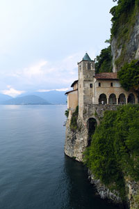
Several lakes, including Lago Maggiore, Lago di Como, and Lago di Garda,
are located in the southern portion of the Alps.
 Italy's largest lowland region, the plain of Lombardy, stretches eastward
between the Apennines and the Alps. This area is the most
populated, and most fertile, section of Italy. More than two-fifths
of Italy's crops, including potatoes, corn, wheat, olives, citrus, and
stone fruits are grown in this area. The land also supports cattle,
sheep, and cows. Italy produces more wine than any other country in
the world, and most of its vineyards are located in this fertile region.
